 vesseltracker.com
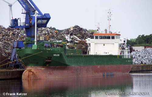
Vessel Helge IMO: 9677404, MMSI: 244750397 General Cargo Ship
UTC, 56.00888, 12.71124, course: -1, speed: 0
UTC, 56.00886, 12.71126, course: 163, speed: 0
2026-02-24 17:26:45 UTC, 56.00887, 12.71126, course: -1, speed: 0
Live AIS position:
UTC. Near Halsingborg),
updated 2026-02-24 17:26:45 UTC.
Find the position of the vessel Helge on the map. The latter are known coordinates and path.
marine traffic ship tracker show on live map
The current position of vessel Helge is 56.00887 lat / 12.71126 lng. Updated: 2026-02-24 17:26:45 UTCCurrently sailing under the flag of Netherlands
Helge built in 2013 year
Deadweight:
5000 tDetails:
Last coordinates of the vessel:
UTC, 55.97497, 12.72935, course: -1, speed: 0UTC, 56.00888, 12.71124, course: -1, speed: 0
UTC, 56.00886, 12.71126, course: 163, speed: 0
2026-02-24 17:26:45 UTC, 56.00887, 12.71126, course: -1, speed: 0