 vesseltracker.com
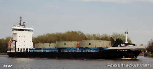
Somers Isles
Current StatusWhere is the vessel?
Somers Isles is currently in 163 nm SW of Southampton, based on AIS data received about 1d ago.
Latest AIS update:
Current position: 30.60167° N, 67.37167° W (163 nm SW of Southampton)
Average speed (last 7 days): Loading…
Average speed (last 30 days): Loading…
Vessel profile: Somers Isles is a Multi Purpose Carrier with dimensions 16m x 100m.
This page combines live AIS, route history, probable destination signals, nearby traffic, and port activity for practical vessel monitoring.
The current position of vessel Somers Isles is 30.60167 lat / -67.37167 lng. Updated: 2026-04-10 07:41:22 UTCDetails:
Live Vessel Somers Isles Analytics (details, animations, etc.)
Recent AIS points (UTC):
2026-04-10 01:23:23 UTC · 31.31167, -66.15500 · SOG 12 kn · COG -1°2026-04-10 03:50:44 UTC · 30.99271, -66.61346 · SOG 11.5 kn · COG 233°
2026-04-10 05:32:23 UTC · 30.78500, -66.92833 · SOG 12 kn · COG -1°
2026-04-10 07:41:22 UTC · 30.60167, -67.37167 · SOG 12 kn · COG -1°