 vesseltracker.com
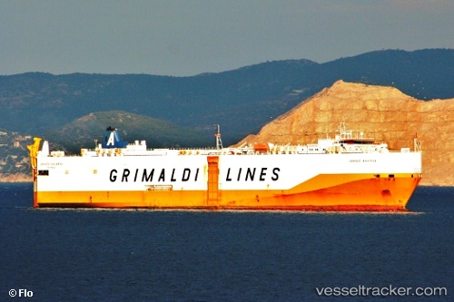
Vessel Grande Anversa IMO: 9287417, MMSI: 247116600 Vehicles Carrier
UTC, 39.61833, 2.04500, course: -1, speed: 14
UTC, 39.47667, 1.78167, course: -1, speed: 13
2026-01-18 08:41:37 UTC, 39.32833, 1.52833, course: -1, speed: 14
Live AIS position:
UTC. 15 nm N of San Juan Bautista),
updated 2026-01-18 08:41:37 UTC.
Find the position of the vessel Grande Anversa on the map. The latter are known coordinates and path.
marine traffic ship tracker show on live map
The current position of vessel Grande Anversa is 39.32833 lat / 1.52833 lng. Updated: 2026-01-18 08:41:37 UTCCurrently sailing under the flag of Italy
Grande Anversa built in 2004 year
Deadweight:
12420 tDetails:
Last coordinates of the vessel:
UTC, 39.69636, 2.19441, course: 236, speed: 13.9UTC, 39.61833, 2.04500, course: -1, speed: 14
UTC, 39.47667, 1.78167, course: -1, speed: 13
2026-01-18 08:41:37 UTC, 39.32833, 1.52833, course: -1, speed: 14