 vesseltracker.com
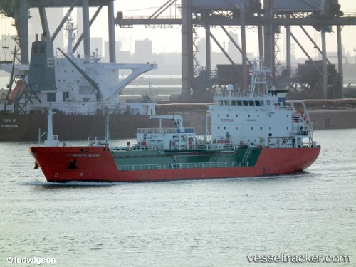
Vessel Syn Turais IMO: 9346914, MMSI: 247325600 Lpg Tanker
UTC, 39.11627, 9.06127, course: 350, speed: 0.3
UTC, 39.11651, 9.06189, course: 307, speed: 0.1
2026-02-01 03:58:03 UTC, 39.11638, 9.06151, course: 336, speed: 0.1
Live AIS position:
UTC. Near SARROCH),
updated 2026-02-01 03:58:03 UTC.
Find the position of the vessel Syn Turais on the map. The latter are known coordinates and path.
marine traffic ship tracker show on live map
The current position of vessel Syn Turais is 39.11638 lat / 9.06151 lng. Updated: 2026-02-01 03:58:03 UTCDetails:
Last coordinates of the vessel:
UTC, 39.11626, 9.06140, course: 329, speed: 0.4UTC, 39.11627, 9.06127, course: 350, speed: 0.3
UTC, 39.11651, 9.06189, course: 307, speed: 0.1
2026-02-01 03:58:03 UTC, 39.11638, 9.06151, course: 336, speed: 0.1