 vesseltracker.com
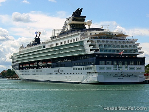
Vessel Marella Explorer 2 IMO: 9072446, MMSI: 249054000 Cruise Ship
UTC, 36.70787, -4.41577, course: 220, speed: 0
UTC, 36.70833, -4.41500, course: -1, speed: 0
2026-02-04 17:46:21 UTC, 36.70787, -4.41576, course: 220, speed: 0
Live AIS position:
UTC. Near Yunquera),
updated 2026-02-04 17:46:21 UTC.
Find the position of the vessel Marella Explorer 2 on the map. The latter are known coordinates and path.
marine traffic ship tracker show on live map
The current position of vessel Marella Explorer 2 is 36.70787 lat / -4.41576 lng. Updated: 2026-02-04 17:46:21 UTCCurrently sailing under the flag of Malta
Marella Explorer 2 built in 1995 year
Deadweight:
7260 tDetails:
Last coordinates of the vessel:
UTC, 36.70787, -4.41576, course: 220, speed: 0UTC, 36.70787, -4.41577, course: 220, speed: 0
UTC, 36.70833, -4.41500, course: -1, speed: 0
2026-02-04 17:46:21 UTC, 36.70787, -4.41576, course: 220, speed: 0