 vesseltracker.com
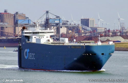
 Autosky
Current Status
Where is the vessel?
Autosky is currently in Near Dungeness, based on AIS data received less than 1h ago.
Latest AIS update:
Current position: 50.78487° N, 0.93880° E (Near Dungeness)
Average speed (last 7 days): Loading…
Average speed (last 30 days): Loading…
Vessel profile: Autosky is a Vehicles Carrier with dimensions 140m x 140m.
This page combines live AIS, route history, probable destination signals, nearby traffic, and port activity for practical vessel monitoring.
The current position of vessel Autosky is 50.78487 lat / 0.93880 lng. Updated: 2026-04-23 03:29:08 UTCNearest reference points:
- Near Dungeness
- Near Saint Leonards-on-Sea
- Near Folkestone
Currently sailing under the flag of Portugal ![]()
Autosky built in 2000 year
Deadweight:
6670 tDetails:
Live Vessel Autosky Analytics (details, animations, etc.)
Recent AIS points (UTC):
2026-04-23 00:14:27 UTC · 51.42199, 2.00348 · SOG 19.6 kn · COG 261°2026-04-23 01:10:15 UTC · 51.20002, 1.69539 · SOG 18 kn · COG 228°
2026-04-23 01:28:56 UTC · 51.13957, 1.58105 · SOG 18 kn · COG 228°
2026-04-23 03:29:08 UTC · 50.78487, 0.93880 · SOG 16.1 kn · COG 235°