 vesseltracker.com
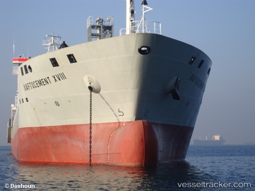
 YANG A
Current Status
Where is the vessel?
YANG A is currently in Near Karabiga, based on AIS data received less than 1h ago.
Latest AIS update:
Current position: 40.42137° N, 27.33025° E (Near Karabiga)
Average speed (last 7 days): Loading…
Average speed (last 30 days): Loading…
Vessel profile: YANG A is a Cement Carrier with dimensions 156m x 20m.
This page combines live AIS, route history, probable destination signals, nearby traffic, and port activity for practical vessel monitoring.
The current position of vessel YANG A is 40.42137 lat / 27.33025 lng. Updated: 2026-04-06 12:27:14 UTCNearest reference points:
- Near Marmara Adasi
- Near Sarköy
- Near Erdek
Currently sailing under the flag of Portugal (MAR) ![]()
YANG A built in 2009 year
Deadweight:
15500 tDetails:
Live Vessel YANG A Analytics (details, animations, etc.)
Recent AIS points (UTC):
2026-04-05 15:57:02 UTC · 40.42140, 27.33029 · SOG 0 kn · COG 203°2026-04-05 16:15:16 UTC · 40.42141, 27.33028 · SOG 0 kn · COG 203°
2026-04-05 16:15:16 UTC · 40.42141, 27.33028 · SOG 0 kn · COG 203°
2026-04-06 12:27:14 UTC · 40.42137, 27.33025 · SOG 0 kn · COG 203°