 vesseltracker.com
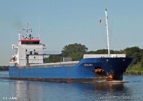
Vessel FL STOROE IMO: 9268851, MMSI: 255802870 General Cargo Ship
UTC, 51.08935, 4.34608, course: 319, speed: 0
UTC, 51.08833, 4.34500, course: -1, speed: 0
2026-03-24 17:58:46 UTC, 51.08935, 4.34612, course: 319, speed: 0
Live Vessel FL STOROE Analytics (details, animations, etc.)
Live AIS position: UTC. Near Klein Willebroek), updated 2026-03-24 17:58:46 UTC.Find the position of the vessel FL STOROE on the map. The latter are known coordinates and path.
marine traffic ship tracker show on live map
The current position of vessel FL STOROE is 51.08935 lat / 4.34612 lng. Updated: 2026-03-24 17:58:46 UTCCurrently sailing under the flag of Portugal (MAR)
FL STOROE built in 2005 year
Deadweight:
5752 tDetails:
Last coordinates of the vessel:
UTC, 51.08933, 4.34612, course: 319, speed: 0UTC, 51.08935, 4.34608, course: 319, speed: 0
UTC, 51.08833, 4.34500, course: -1, speed: 0
2026-03-24 17:58:46 UTC, 51.08935, 4.34612, course: 319, speed: 0