 vesseltracker.com
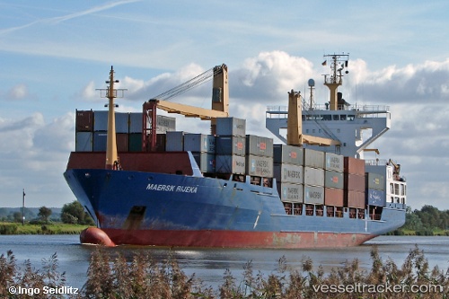
 Barbara P
Current Status
Where is the vessel?
Barbara P is currently in 36 nm NW of Mostaganem, based on AIS data received about 1h ago.
Latest AIS update:
Current position: 36.47863° N, 0.26117° W (36 nm NW of Mostaganem)
Average speed (last 7 days): Loading…
Average speed (last 30 days): Loading…
Vessel profile: Barbara P is a Container Ship with dimensions 139m x 24m.
This page combines live AIS, route history, probable destination signals, nearby traffic, and port activity for practical vessel monitoring.
The current position of vessel Barbara P is 36.47863 lat / -0.26117 lng. Updated: 2026-04-07 13:21:56 UTCNearest reference points:
- 43 nm NW of Mostaganem
- 49 nm S of Rejected
- 50 nm N of Mostaganem
Currently sailing under the flag of Portugal ![]()
Barbara P built in 1997 year
Deadweight:
12950 tDetails:
Live Vessel Barbara P Analytics (details, animations, etc.)
Recent AIS points (UTC):
2026-04-07 07:28:02 UTC · 36.63107, 1.03639 · SOG 13.8 kn · COG 253°2026-04-07 10:23:20 UTC · 36.55906, 0.38167 · SOG 10.4 kn · COG 261°
2026-04-07 11:44:11 UTC · 36.52420, 0.08939 · SOG 10.5 kn · COG 262°
2026-04-07 13:21:56 UTC · 36.47863, -0.26117 · SOG 10.2 kn · COG 262°