 vesseltracker.com
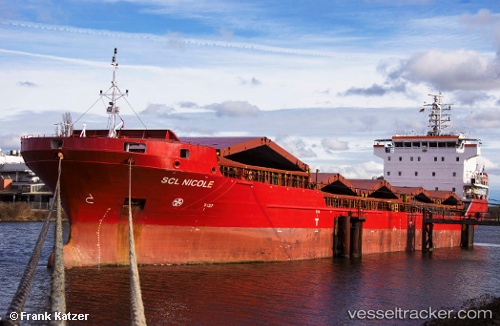
Vessel Evita IMO: 9381433, MMSI: 255805829 Multi Purpose Carrier
UTC, 55.15277, 13.22248, course: 105, speed: 6.5
UTC, 55.09677, 13.45303, course: 108, speed: 7.3
2026-02-05 11:47:20 UTC, 54.95850, 13.86346, course: 89, speed: 6.6
Live AIS position:
UTC. 12 nm E of Neuendorf-Hiddensee),
updated 2026-02-05 11:47:20 UTC.
Find the position of the vessel Evita on the map. The latter are known coordinates and path.
marine traffic ship tracker show on live map
The current position of vessel Evita is 54.95850 lat / 13.86346 lng. Updated: 2026-02-05 11:47:20 UTCCurrently sailing under the flag of Portugal
Evita built in 2009 year
Deadweight:
7678 tDetails:
Last coordinates of the vessel:
UTC, 55.27383, 12.73664, course: 110, speed: 7.5UTC, 55.15277, 13.22248, course: 105, speed: 6.5
UTC, 55.09677, 13.45303, course: 108, speed: 7.3
2026-02-05 11:47:20 UTC, 54.95850, 13.86346, course: 89, speed: 6.6