 vesseltracker.com
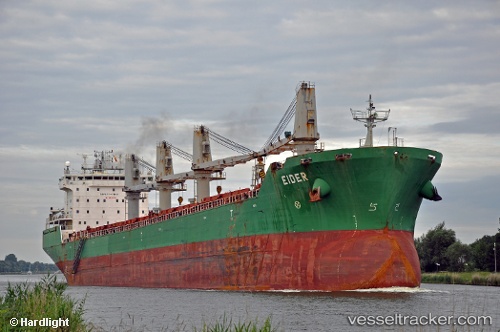
Vessel Isabelle G IMO: 9285938, MMSI: 255806118 Bulk Carrier
UTC, 31.26419, 32.31503, course: 214, speed: 0
UTC, 31.26419, 32.31503, course: 214, speed: 0
2026-01-13 07:51:56 UTC, 31.26419, 32.31503, course: 214, speed: 0
Live AIS position:
UTC. Near Port Said),
updated 2026-01-13 07:51:56 UTC.
Find the position of the vessel Isabelle G on the map. The latter are known coordinates and path.
marine traffic ship tracker show on live map
The current position of vessel Isabelle G is 31.26419 lat / 32.31503 lng. Updated: 2026-01-13 07:51:56 UTCCurrently sailing under the flag of Portugal
Isabelle G built in 2004 year
Deadweight:
37193 tDetails:
Last coordinates of the vessel:
UTC, 31.26419, 32.31503, course: 214, speed: 0UTC, 31.26419, 32.31503, course: 214, speed: 0
UTC, 31.26419, 32.31503, course: 214, speed: 0
2026-01-13 07:51:56 UTC, 31.26419, 32.31503, course: 214, speed: 0