 vesseltracker.com
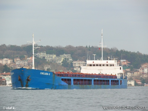
Vessel Chelsea 3 IMO: 9361392, MMSI: 256228000 General Cargo Ship
UTC, 40.69358, 29.33755, course: 309, speed: 0.2
UTC, 40.69662, 29.33313, course: 235, speed: 2.1
2026-02-06 11:33:16 UTC, 40.69368, 29.32105, course: 313, speed: 0.7
Live AIS position:
UTC. Near Gebze),
updated 2026-02-06 11:33:16 UTC.
Find the position of the vessel Chelsea 3 on the map. The latter are known coordinates and path.
marine traffic ship tracker show on live map
The current position of vessel Chelsea 3 is 40.69368 lat / 29.32105 lng. Updated: 2026-02-06 11:33:16 UTCDetails:
Last coordinates of the vessel:
UTC, 40.69430, 29.33798, course: 264, speed: 0UTC, 40.69358, 29.33755, course: 309, speed: 0.2
UTC, 40.69662, 29.33313, course: 235, speed: 2.1
2026-02-06 11:33:16 UTC, 40.69368, 29.32105, course: 313, speed: 0.7