 vesseltracker.com
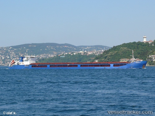
Find the position of the vessel Chelsea 2 on the map. The latter are known coordinates and path.
marine traffic ship tracker show on live map
The current position of vessel Chelsea 2 is 36.8006 lat / 34.6492 lng. Updated: 2024-05-07 10:20:05 UTCCurrently sailing under the flag of Malta
Chelsea 2 built in 2005 year
Port of registry:
Valletta (capital of Malta)Deadweight:
6081 tPayload_mass:
6081 tonneGross tonnage:
5166Service entry:
2005-01-01T00:00:00ZDetails:
Last coordinates of the vessel:
UTC, 36.8005, 34.6492, course: 358, speed: 0UTC, 36.8005, 34.6492, course: 358, speed: 0
UTC, 36.8005, 34.6492, course: 358, speed: 0
2024-05-07 10:20:05 UTC, 36.8006, 34.6492, course: 358, speed: 0
The ship also appears on the maps: