 vesseltracker.com
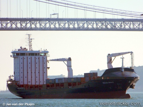
Vessel Vera A IMO: 9372585, MMSI: 256579000 Container Ship
UTC, 42.24327, -8.71730, course: 187, speed: 0
UTC, 42.24328, -8.71729, course: 188, speed: 0
2026-01-24 04:32:14 UTC, 42.24328, -8.71728, course: 187, speed: 0
Live AIS position:
UTC. Near Vigo),
updated 2026-01-24 04:32:14 UTC.
Find the position of the vessel Vera A on the map. The latter are known coordinates and path.
marine traffic ship tracker show on live map
The current position of vessel Vera A is 42.24328 lat / -8.71728 lng. Updated: 2026-01-24 04:32:14 UTCCurrently sailing under the flag of Malta
Vera A built in 2011 year
Deadweight:
12513 tDetails:
Last coordinates of the vessel:
UTC, 42.24327, -8.71731, course: 188, speed: 0UTC, 42.24327, -8.71730, course: 187, speed: 0
UTC, 42.24328, -8.71729, course: 188, speed: 0
2026-01-24 04:32:14 UTC, 42.24328, -8.71728, course: 187, speed: 0