 vesseltracker.com
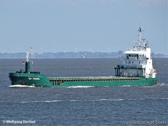
Vessel Feed Helgeland IMO: 9163635, MMSI: 257066860 Multi Purpose Carrier
UTC, 53.51961, 9.89108, course: 232, speed: 0
UTC, 53.52188, 9.89136, course: -1, speed: 5.5
2026-01-29 18:27:33 UTC, 53.68721, 9.50269, course: 349, speed: 7.6
Live AIS position:
UTC. Near Barnkrug),
updated 2026-01-29 18:27:33 UTC.
Find the position of the vessel Feed Helgeland on the map. The latter are known coordinates and path.
marine traffic ship tracker show on live map
The current position of vessel Feed Helgeland is 53.68721 lat / 9.50269 lng. Updated: 2026-01-29 18:27:33 UTCCurrently sailing under the flag of Norway
Feed Helgeland built in 1999 year
Deadweight:
4934 tDetails:
Last coordinates of the vessel:
UTC, 53.51960, 9.89110, course: 231, speed: 0UTC, 53.51961, 9.89108, course: 232, speed: 0
UTC, 53.52188, 9.89136, course: -1, speed: 5.5
2026-01-29 18:27:33 UTC, 53.68721, 9.50269, course: 349, speed: 7.6