 vesseltracker.com
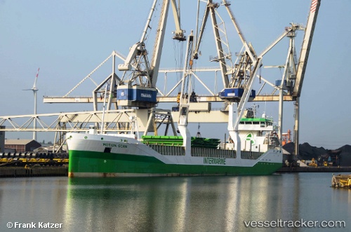
Find the position of the vessel 'NORSHORE ATLANTIC' on the map. The latter are known coordinates and path.
marine traffic ship tracker show on live map
The current position of vessel 'NORSHORE ATLANTIC' is 53.4522 lat / 6.82213 lng. Updated: 2024-04-23 07:06:31 UTCPort of registry:
Singapore (sovereign island country and city-state in maritime Southeast Asia)Payload_mass:
10000 tonneGross tonnage:
6693Service entry:
2011-01-01T00:00:00ZManufacturer:
Scheepswerf Peters, KampenDetails:
Last coordinates of the vessel:
UTC, 53.4522, 6.82213, course: 285, speed: 0UTC, 53.4522, 6.82213, course: 285, speed: 0
UTC, 53.4522, 6.82213, course: 285, speed: 0
2024-04-23 07:06:31 UTC, 53.4522, 6.82213, course: 285, speed: 0