 vesseltracker.com
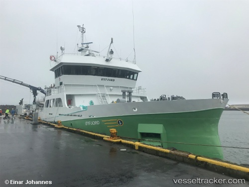
 Ronja Fjord
Current Status
Where is the vessel?
Ronja Fjord is currently in Near STOKMARKNES, based on AIS data received about 1h ago.
Latest AIS update:
Current position: 68.57449° N, 14.95456° E (Near STOKMARKNES)
Average speed (last 7 days): Loading…
Average speed (last 30 days): Loading…
Vessel profile: Ronja Fjord is a Fish Carrier with dimensions 69m x 12m.
This page combines live AIS, route history, probable destination signals, nearby traffic, and port activity for practical vessel monitoring.
The current position of vessel Ronja Fjord is 68.57449 lat / 14.95456 lng. Updated: 2026-04-07 10:24:45 UTCNearest reference points:
- Near Berrvik (Bergvik)
- Near Eidet
- Near SVOLVAER
Currently sailing under the flag of Norway ![]()
Ronja Fjord built in 2014 year
Deadweight:
2200 tDetails:
Live Vessel Ronja Fjord Analytics (details, animations, etc.)
Recent AIS points (UTC):
2026-04-07 04:16:17 UTC · 68.57453, 14.95450 · SOG 0 kn · COG 94°2026-04-07 06:16:17 UTC · 68.57449, 14.95456 · SOG 0 kn · COG 94°
2026-04-07 07:25:17 UTC · 68.57451, 14.95460 · SOG 0 kn · COG 94°
2026-04-07 10:24:45 UTC · 68.57449, 14.95456 · SOG 0 kn · COG 94°