 vesseltracker.com
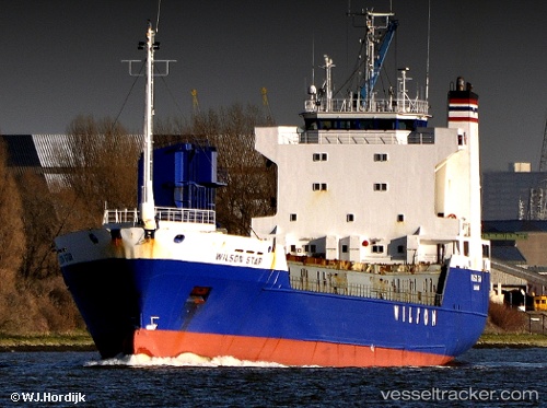
Vessel LINK SUN IMO: 8805597, MMSI: 257969000 Ro-Ro Cargo Ship
UTC, 59.88824, 10.74980, course: 61, speed: 0
UTC, 59.88824, 10.74980, course: 61, speed: 0
2026-03-01 04:23:58 UTC, 59.22067, 10.61991, course: 168, speed: 13.7
Live AIS position:
UTC. Near Engelsviken),
updated 2026-03-01 04:23:58 UTC.
Find the position of the vessel LINK SUN on the map. The latter are known coordinates and path.
marine traffic ship tracker show on live map
The current position of vessel LINK SUN is 59.22067 lat / 10.61991 lng. Updated: 2026-03-01 04:23:58 UTCCurrently sailing under the flag of Norway (NIS)
LINK SUN built in 1988 year
Deadweight:
4463 tDetails:
Last coordinates of the vessel:
UTC, 59.88824, 10.74980, course: 61, speed: 0UTC, 59.88824, 10.74980, course: 61, speed: 0
UTC, 59.88824, 10.74980, course: 61, speed: 0
2026-03-01 04:23:58 UTC, 59.22067, 10.61991, course: 168, speed: 13.7