 vesseltracker.com
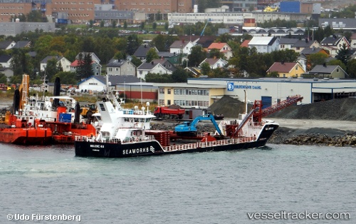
Find the position of the vessel Helene H on the map. The latter are known coordinates and path.
marine traffic ship tracker show on live map
The current position of vessel Helene H is 68.42743 lat / 16.64810 lng. Updated: 2025-10-25 13:35:06 UTCCurrently sailing under the flag of Norway
Helene H built in 2013 year
Deadweight:
2396 tDetails:
Last coordinates of the vessel:
UTC, 68.29317, 15.85673, course: 48, speed: 7.2UTC, 68.38380, 16.23277, course: 69, speed: 6.8
UTC, 68.40516, 16.40477, course: 72, speed: 6.8
2025-10-25 13:35:06 UTC, 68.42743, 16.64810, course: 86, speed: 6.3