 vesseltracker.com
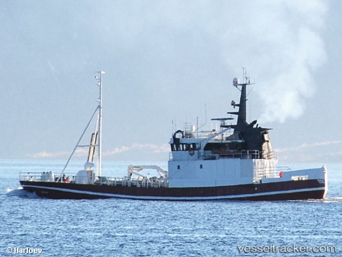
 Polynya
Current Status
Where is the vessel?
Polynya is currently in Near Steinesjøen, based on AIS data received less than 1h ago.
Latest AIS update:
Current position: 68.60519° N, 14.45867° E (Near Steinesjøen)
Average speed (last 7 days): Loading…
Average speed (last 30 days): Loading…
Vessel profile: Polynya is a Fish Carrier with dimensions 41m x 8m.
This page combines live AIS, route history, probable destination signals, nearby traffic, and port activity for practical vessel monitoring.
The current position of vessel Polynya is 68.60519 lat / 14.45867 lng. Updated: 2026-04-07 07:27:35 UTCNearest reference points:
- Near Berrvik (Bergvik)
- Near Eidet
- Near SVOLVAER
Currently sailing under the flag of Norway ![]()
Polynya built in 1968 year
Details:
Live Vessel Polynya Analytics (details, animations, etc.)
Recent AIS points (UTC):
2026-04-07 01:27:27 UTC · 68.60520, 14.45868 · SOG 0 kn · COG 232°2026-04-07 04:16:45 UTC · 68.60521, 14.45869 · SOG 0 kn · COG 232°
2026-04-07 06:17:06 UTC · 68.60519, 14.45871 · SOG 0 kn · COG 233°
2026-04-07 07:27:35 UTC · 68.60519, 14.45867 · SOG 0 kn · COG 233°