 vesseltracker.com
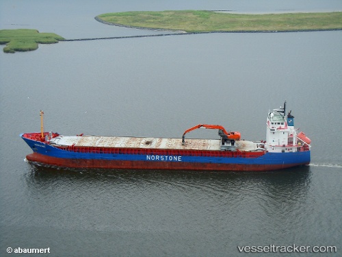
Vessel Norvind IMO: 9247118, MMSI: 258761000 Multi Purpose Carrier
UTC, 57.96475, 7.74028, course: 247, speed: 14.7
UTC, 58.04215, 6.62502, course: 312, speed: 15
2026-02-09 12:12:08 UTC, 58.32692, 6.03704, course: 311, speed: 12.9
Live AIS position:
UTC. Near Rekefjord),
updated 2026-02-09 12:12:08 UTC.
Find the position of the vessel Norvind on the map. The latter are known coordinates and path.
marine traffic ship tracker show on live map
The current position of vessel Norvind is 58.32692 lat / 6.03704 lng. Updated: 2026-02-09 12:12:08 UTCCurrently sailing under the flag of Norway
Norvind built in 2002 year
Deadweight:
5916 tDetails:
Last coordinates of the vessel:
UTC, 58.16028, 8.48254, course: 232, speed: 14.9UTC, 57.96475, 7.74028, course: 247, speed: 14.7
UTC, 58.04215, 6.62502, course: 312, speed: 15
2026-02-09 12:12:08 UTC, 58.32692, 6.03704, course: 311, speed: 12.9