 vesseltracker.com
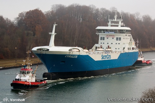
Vessel Coralius IMO: 9769128, MMSI: 266436000 Lng Tanker
UTC, 55.28997, 12.66547, course: 2, speed: 13.8
UTC, 55.39847, 12.68393, course: 10, speed: 13.6
2026-01-13 22:18:37 UTC, 55.66649, 12.67107, course: 320, speed: 7.3
Live AIS position:
UTC. Near København),
updated 2026-01-13 22:18:37 UTC.
Find the position of the vessel Coralius on the map. The latter are known coordinates and path.
marine traffic ship tracker show on live map
The current position of vessel Coralius is 55.66649 lat / 12.67107 lng. Updated: 2026-01-13 22:18:37 UTCCurrently sailing under the flag of Sweden
Details:
Last coordinates of the vessel:
UTC, 54.77133, 12.47971, course: 29, speed: 7.5UTC, 55.28997, 12.66547, course: 2, speed: 13.8
UTC, 55.39847, 12.68393, course: 10, speed: 13.6
2026-01-13 22:18:37 UTC, 55.66649, 12.67107, course: 320, speed: 7.3