 vesseltracker.com
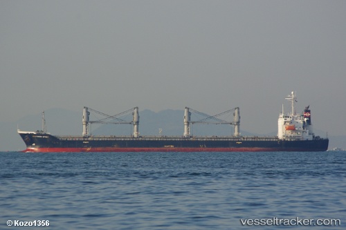
 SOUTH SPIRIT
Current Status
Where is the vessel?
SOUTH SPIRIT is currently in Near BENGHAZI, based on AIS data received about 1d ago.
Latest AIS update:
Current position: 32.11655° N, 19.96905° E (Near BENGHAZI)
Average speed (last 7 days): Loading…
Average speed (last 30 days): Loading…
Vessel profile: SOUTH SPIRIT is a Bulk Carrier with dimensions m x m.
This page combines live AIS, route history, probable destination signals, nearby traffic, and port activity for practical vessel monitoring.
The current position of vessel SOUTH SPIRIT is 32.11655 lat / 19.96905 lng. Updated: 2026-04-10 07:22:40 UTCNearest reference points:
- Near BENGHAZI
- Near Banghazi
- 61 nm N of Al Marj
Currently sailing under the flag of San Marino ![]()
Details:
Live Vessel SOUTH SPIRIT Analytics (details, animations, etc.)
Recent AIS points (UTC):
2026-04-10 02:25:40 UTC · 32.11572, 19.96858 · SOG 0 kn · COG 327°2026-04-10 03:46:42 UTC · 32.11575, 19.96863 · SOG 0 kn · COG 318°
2026-04-10 05:58:40 UTC · 32.11583, 19.96855 · SOG 0 kn · COG 318°
2026-04-10 07:22:40 UTC · 32.11655, 19.96905 · SOG 0 kn · COG 281°