 vesseltracker.com
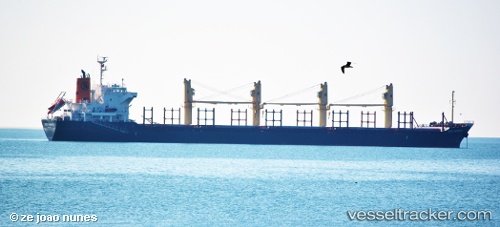
Find the position of the vessel Ince Hamburg on the map. The latter are known coordinates and path.
marine traffic ship tracker show on live map
The current position of vessel Ince Hamburg is 57.58724 lat / 11.32709 lng. Updated: 2025-10-03 17:21:40 UTCCurrently sailing under the flag of Turkey
Ince Hamburg built in 2010 year
Deadweight:
28189 tDetails:
Last coordinates of the vessel:
UTC, 57.15092, 11.95113, course: 341, speed: 12.9UTC, 57.34165, 11.71739, course: 317, speed: 12.4
UTC, 57.43659, 11.54999, course: 312, speed: 12.8
2025-10-03 17:21:40 UTC, 57.58724, 11.32709, course: 321, speed: 13