 vesseltracker.com
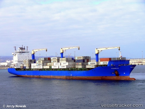
Find the position of the vessel Gulbeniz A on the map. The latter are known coordinates and path.
marine traffic ship tracker show on live map
The current position of vessel Gulbeniz A is 33.90995 lat / 35.53857 lng. Updated: 2025-11-17 11:12:57 UTCCurrently sailing under the flag of Turkey
Gulbeniz A built in 2011 year
Deadweight:
34943 tDetails:
Last coordinates of the vessel:
UTC, 33.90911, 35.53467, course: 94, speed: 0UTC, 33.90911, 35.53464, course: 94, speed: 0
UTC, 33.90915, 35.53467, course: 94, speed: 0
2025-11-17 11:12:57 UTC, 33.90995, 35.53857, course: 85, speed: 4.9