 vesseltracker.com
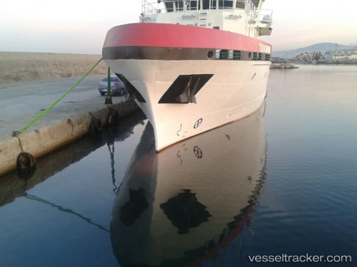
Vessel Tubitak Marmara IMO: 9633355, MMSI: 271043343 Research Vessel
UTC, 40.99806, 29.01205, course: 96, speed: 0.2
UTC, 41.00054, 29.01500, course: 97, speed: 0
2026-01-30 13:35:12 UTC, 41.00061, 29.01497, course: 97, speed: 0.2
Live AIS position:
UTC. Near Kiziltoprak),
updated 2026-01-30 13:35:12 UTC.
Find the position of the vessel Tubitak Marmara on the map. The latter are known coordinates and path.
marine traffic ship tracker show on live map
The current position of vessel Tubitak Marmara is 41.00061 lat / 29.01497 lng. Updated: 2026-01-30 13:35:12 UTCCurrently sailing under the flag of Turkey
Details:
Last coordinates of the vessel:
UTC, 41.00004, 29.01512, course: 96, speed: 0UTC, 40.99806, 29.01205, course: 96, speed: 0.2
UTC, 41.00054, 29.01500, course: 97, speed: 0
2026-01-30 13:35:12 UTC, 41.00061, 29.01497, course: 97, speed: 0.2