 vesseltracker.com
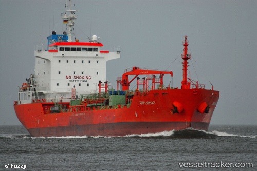
Vessel Kaya Tuna IMO: 9340362, MMSI: 271043410 Chemical Oil Products Tanker
UTC, 38.82520, 26.94694, course: 193, speed: 0
UTC, 38.82517, 26.94696, course: 193, speed: 0
2026-03-04 06:18:50 UTC, 38.82517, 26.94693, course: 193, speed: 0
Live AIS position:
UTC. Near Aliaga),
updated 2026-03-04 06:18:50 UTC.
Find the position of the vessel Kaya Tuna on the map. The latter are known coordinates and path.
marine traffic ship tracker show on live map
The current position of vessel Kaya Tuna is 38.82517 lat / 26.94693 lng. Updated: 2026-03-04 06:18:50 UTCCurrently sailing under the flag of Turkey
Kaya Tuna built in 2007 year
Deadweight:
13027 tDetails:
Last coordinates of the vessel:
UTC, 38.82515, 26.94695, course: 194, speed: 0UTC, 38.82520, 26.94694, course: 193, speed: 0
UTC, 38.82517, 26.94696, course: 193, speed: 0
2026-03-04 06:18:50 UTC, 38.82517, 26.94693, course: 193, speed: 0