 vesseltracker.com
Find the position of the vessel Roseline A on the map. The latter are known coordinates and path.
marine traffic ship tracker show on live map
The current position of vessel Roseline A is 40.6992 lat / 29.1694 lng. Updated: 2025-09-10 20:23:57 UTCCurrently sailing under the flag of Turkey
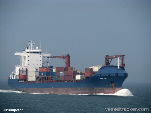
Roseline A built in 1998 year
Deadweight:
16727 tDetails:
Last coordinates of the vessel:
UTC, 40.7104, 29.211, course: 315, speed: 0.7UTC, 40.7009, 29.194, course: 342, speed: 0.6
UTC, 40.6983, 29.1862, course: 347, speed: 0.7
2025-09-10 20:23:57 UTC, 40.6992, 29.1694, course: 5, speed: 0.6