 vesseltracker.com
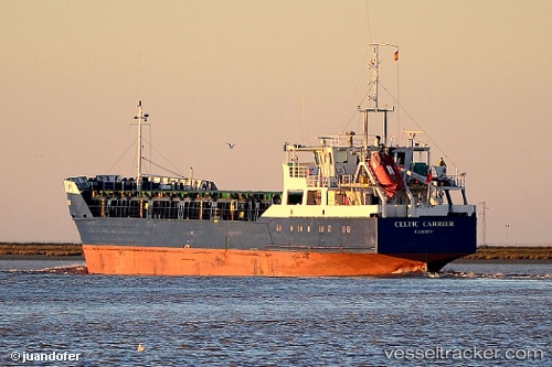
Vessel Muhammet Gumustas 5 IMO: 8516287, MMSI: 271043901 General Cargo Ship
UTC, 40.63663, 22.91855, course: 342, speed: 0
UTC, 40.63663, 22.91855, course: 341, speed: 0
2026-01-17 15:37:58 UTC, 40.63663, 22.91855, course: 341, speed: 0
Live AIS position:
UTC. Near Thessaloniki),
updated 2026-01-17 15:37:58 UTC.
Find the position of the vessel Muhammet Gumustas 5 on the map. The latter are known coordinates and path.
marine traffic ship tracker show on live map
The current position of vessel Muhammet Gumustas 5 is 40.63663 lat / 22.91855 lng. Updated: 2026-01-17 15:37:58 UTCCurrently sailing under the flag of Turkey
Muhammet Gumustas 5 built in 1985 year
Deadweight:
3020 tDetails:
Last coordinates of the vessel:
UTC, 40.63663, 22.91855, course: 342, speed: 0UTC, 40.63663, 22.91855, course: 342, speed: 0
UTC, 40.63663, 22.91855, course: 341, speed: 0
2026-01-17 15:37:58 UTC, 40.63663, 22.91855, course: 341, speed: 0