 vesseltracker.com
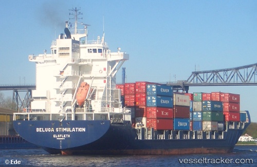
Vessel Martha A IMO: 9299484, MMSI: 271044070 Container Ship
UTC, 36.13166, 34.75811, course: 170, speed: 11
UTC, 35.68082, 34.83420, course: 188, speed: 10.4
2026-01-28 11:02:17 UTC, 35.27935, 34.70387, course: 204, speed: 10.7
Live AIS position:
UTC. 38 nm E of Famagusta),
updated 2026-01-28 11:02:17 UTC.
Find the position of the vessel Martha A on the map. The latter are known coordinates and path.
marine traffic ship tracker show on live map
The current position of vessel Martha A is 35.27935 lat / 34.70387 lng. Updated: 2026-01-28 11:02:17 UTCCurrently sailing under the flag of Turkey
Martha A built in 2005 year
Deadweight:
33796 tDetails:
Last coordinates of the vessel:
UTC, 36.47204, 34.70229, course: 166, speed: 10.6UTC, 36.13166, 34.75811, course: 170, speed: 11
UTC, 35.68082, 34.83420, course: 188, speed: 10.4
2026-01-28 11:02:17 UTC, 35.27935, 34.70387, course: 204, speed: 10.7