 vesseltracker.com
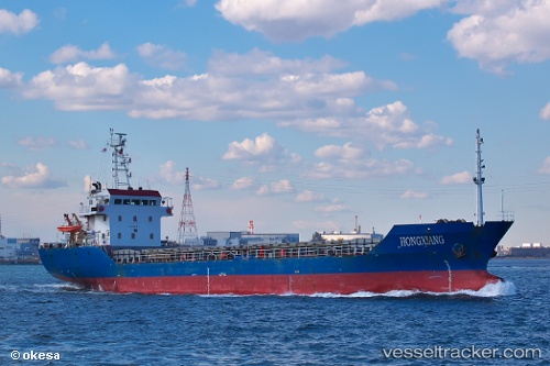
 SNG EMIRA
Current Status
Where is the vessel?
SNG EMIRA is currently in Near Kastellorizou (ex Megísti), based on AIS data received about 1h ago.
Latest AIS update:
Current position: 36.08840° N, 29.70711° E (Near Kastellorizou (ex Megísti))
Average speed (last 7 days): Loading…
Average speed (last 30 days): Loading…
Vessel profile: SNG EMIRA is a Cargo with dimensions m x m.
This page combines live AIS, route history, probable destination signals, nearby traffic, and port activity for practical vessel monitoring.
The current position of vessel SNG EMIRA is 36.08840 lat / 29.70711 lng. Updated: 2026-04-15 20:19:09 UTCNearest reference points:
- Near KAS
- Near Finike
- Near Fethiye
Currently sailing under the flag of Turkey ![]()
Details:
Live Vessel SNG EMIRA Analytics (details, animations, etc.)
Recent AIS points (UTC):
2026-04-15 14:01:50 UTC · 36.11440, 30.79993 · SOG 8.6 kn · COG 271°2026-04-15 15:24:31 UTC · 36.12912, 30.55634 · SOG 8.5 kn · COG 267°
2026-04-15 17:17:14 UTC · 36.13667, 30.23333 · SOG 8 kn · COG -1°
2026-04-15 20:19:09 UTC · 36.08840, 29.70711 · SOG 8.3 kn · COG 261°