 vesseltracker.com
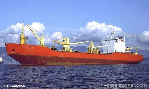
Bratsk
Current StatusWhere is the vessel?
Bratsk is currently in 21 nm E of Mariupol, based on AIS data received about 21h ago.
Latest AIS update:
Current position: 46.93740° N, 37.98996° E (21 nm E of Mariupol)
Average speed (last 7 days): Loading…
Average speed (last 30 days): Loading…
Vessel profile: Bratsk is a General Cargo Ship with dimensions 15m x 109m.
This page combines live AIS, route history, probable destination signals, nearby traffic, and port activity for practical vessel monitoring.
The current position of vessel Bratsk is 46.93740 lat / 37.98996 lng. Updated: 2026-04-04 11:52:37 UTCNearest reference points:
- 25 nm SE of Mariupol
- 19 nm E of Mariupol
- 29 nm E of Mariupol
Details:
Live Vessel Bratsk Analytics (details, animations, etc.)
Recent AIS points (UTC):
2026-04-04 09:19:20 UTC · 47.01228, 38.35165 · SOG 6.1 kn · COG 269°2026-04-04 11:52:37 UTC · 46.93740, 37.98996 · SOG 13.3 kn · COG 254°
2026-04-04 11:52:37 UTC · 46.93740, 37.98996 · SOG 13.3 kn · COG 254°
2026-04-04 11:52:37 UTC · 46.93740, 37.98996 · SOG 13.3 kn · COG 254°