 vesseltracker.com
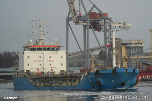
Vessel Agate IMO: 9549619, MMSI: 273333440 General Cargo Ship
UTC, 42.21462, 34.56651, course: 89, speed: 7.9
UTC, 42.21462, 34.56651, course: 89, speed: 7.9
2026-01-18 02:04:44 UTC, 42.33938, 34.73615, course: 29, speed: 7
Live AIS position:
UTC. 25 nm N of Gümüssuyu),
updated 2026-01-18 02:04:44 UTC.
Find the position of the vessel Agate on the map. The latter are known coordinates and path.
marine traffic ship tracker show on live map
The current position of vessel Agate is 42.33938 lat / 34.73615 lng. Updated: 2026-01-18 02:04:44 UTCCurrently sailing under the flag of Russia
Agate built in 2011 year
Deadweight:
5028 tDetails:
Last coordinates of the vessel:
UTC, 42.21491, 33.97021, course: 71, speed: 6.8UTC, 42.21462, 34.56651, course: 89, speed: 7.9
UTC, 42.21462, 34.56651, course: 89, speed: 7.9
2026-01-18 02:04:44 UTC, 42.33938, 34.73615, course: 29, speed: 7