 vesseltracker.com
Live AIS position:
41.34544° N, 36.35685° E UTC. Near Samsun),
updated 2025-11-24 03:40:06 UTC.
Find the position of the vessel VOLZHSKIY 47 on the map. The latter are known coordinates and path.
marine traffic ship tracker show on live map
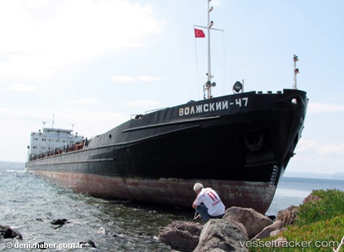
The current position of vessel VOLZHSKIY 47 is 41.34544 lat / 36.35685 lng. Updated: 2025-11-24 03:40:06 UTCCurrently sailing under the flag of Russia
VOLZHSKIY 47 built in 1991 year
Deadweight:
5017 tDetails:
Last coordinates of the vessel:
UTC, 41.34741, 36.35680, course: 228, speed: 0UTC, 41.34755, 36.35721, course: 227, speed: 0.1
UTC, 41.34545, 36.35683, course: 305, speed: 0.1
2025-11-24 03:40:06 UTC, 41.34544, 36.35685, course: 306, speed: 0