 vesseltracker.com
 MATRITSA
Current Status
Where is the vessel?
MATRITSA is currently in 94 nm E of Pakhachi, based on AIS data received about 1h ago.
Latest AIS update:
Current position: 61.02333° N, 172.13333° E (94 nm E of Pakhachi)
Average speed (last 7 days): Loading…
Average speed (last 30 days): Loading…
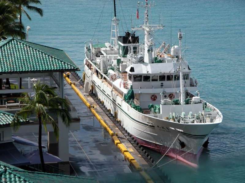
Vessel profile: MATRITSA is a Fishing Vessel with dimensions 57.4m x 9.5m.
This page combines live AIS, route history, probable destination signals, nearby traffic, and port activity for practical vessel monitoring.
The current position of vessel MATRITSA is 61.02333 lat / 172.13333 lng. Updated: 2026-04-15 17:49:25 UTCCurrently sailing under the flag of Russia ![]()
MATRITSA built in 1989 year
Deadweight:
448 tDetails:
Live Vessel MATRITSA Analytics (details, animations, etc.)
Recent AIS points (UTC):
2026-04-15 11:40:18 UTC · 61.02333, 172.13333 · SOG 0 kn · COG -1°2026-04-15 13:19:56 UTC · 61.02364, 172.13428 · SOG 0.1 kn · COG 47°
2026-04-15 16:23:10 UTC · 61.02361, 172.13445 · SOG 0 kn · COG 4°
2026-04-15 17:49:25 UTC · 61.02333, 172.13333 · SOG 0 kn · COG -1°