 vesseltracker.com
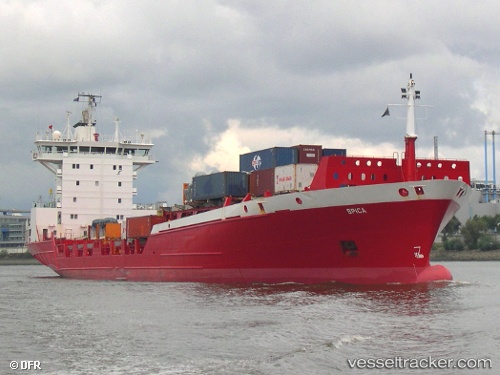
 NANTO
NANTO
Current Status
Where is the vessel?
NANTO is currently in 12 nm SW of MAZARA DEL VALLO, based on AIS data received about 1h ago.
Latest AIS update:
Current position: 37.48185° N, 12.43785° E (12 nm SW of MAZARA DEL VALLO)
Average speed (last 7 days): Loading…
Average speed (last 30 days): Loading…
Vessel profile: NANTO is a Container Ship with dimensions m x m.
This page combines live AIS, route history, probable destination signals, nearby traffic, and port activity for practical vessel monitoring.
The current position of vessel NANTO is 37.48185 lat / 12.43785 lng. Updated: 2026-04-15 05:54:17 UTCNearest reference points:
- Near MARSALA
- Near Trapani
- Near Balestrate
Currently sailing under the flag of Estonia ![]()
Details:
Live Vessel NANTO Analytics (details, animations, etc.)
Recent AIS points (UTC):
2026-04-14 21:35:52 UTC · 36.61321, 14.75937 · SOG 14 kn · COG 283°2026-04-14 23:35:17 UTC · 36.77490, 14.20470 · SOG 14.6 kn · COG 296°
2026-04-15 03:29:47 UTC · 37.23586, 13.13075 · SOG 15 kn · COG 292°
2026-04-15 05:54:17 UTC · 37.48185, 12.43785 · SOG 15.1 kn · COG 290°