 vesseltracker.com
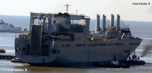
Brittin
Current StatusWhere is the vessel?
Brittin is currently in Near Linnton, based on AIS data received about 1h ago.
Latest AIS update:
Current position: 45.59500° N, 122.77167° W (Near Linnton)
Average speed (last 7 days): Loading…
Average speed (last 30 days): Loading…
Vessel profile: Brittin is a Vehicles Carrier with dimensions 32m x 290m.
This page combines live AIS, route history, probable destination signals, nearby traffic, and port activity for practical vessel monitoring.
The current position of vessel Brittin is 45.59500 lat / -122.77167 lng. Updated: 2026-04-21 23:27:28 UTCNearest reference points:
- Near Linnton
- Near LONGVIEW
- Near Astoria
Details:
Live Vessel Brittin Analytics (details, animations, etc.)
Recent AIS points (UTC):
2026-04-21 19:56:54 UTC · 45.59500, -122.77167 · SOG 0 kn · COG -1°2026-04-21 22:20:04 UTC · 45.59422, -122.77223 · SOG 0 kn · COG 149°
2026-04-21 22:20:04 UTC · 45.59422, -122.77223 · SOG 0 kn · COG 149°
2026-04-21 23:27:28 UTC · 45.59500, -122.77167 · SOG 0 kn · COG -1°