 vesseltracker.com
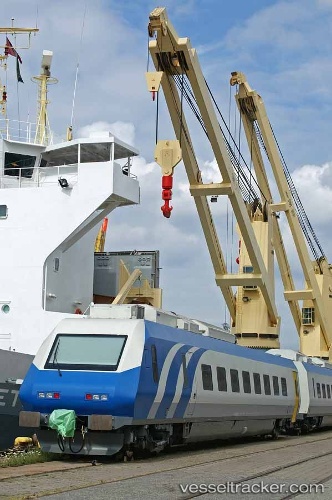
Grietje
Current StatusWhere is the vessel?
Grietje is currently in Near Aal-SEZ/Vishakhapatnam, based on AIS data received about 1h ago.
Latest AIS update:
Current position: 17.70239° N, 83.28297° E (Near Aal-SEZ/Vishakhapatnam)
Average speed (last 7 days): Loading…
Average speed (last 30 days): Loading…
Vessel profile: Grietje is a Heavy Load Carrier with dimensions 22m x 152m.
This page combines live AIS, route history, probable destination signals, nearby traffic, and port activity for practical vessel monitoring.
The current position of vessel Grietje is 17.70239 lat / 83.28297 lng. Updated: 2026-04-08 05:46:41 UTCNearest reference points:
- Near Vishakhapatnam
- Near Wipro Sez/Resapuvanipalem
- Near Gopalpur
Details:
Live Vessel Grietje Analytics (details, animations, etc.)
Recent AIS points (UTC):
2026-04-07 09:29:12 UTC · 7.68900, 76.90552 · SOG 16.3 kn · COG 133°2026-04-08 01:37:50 UTC · 17.66307, 83.34113 · SOG 4.1 kn · COG 330°
2026-04-08 04:16:41 UTC · 17.70241, 83.28293 · SOG 0 kn · COG 210°
2026-04-08 05:46:41 UTC · 17.70239, 83.28297 · SOG 0 kn · COG 210°