 vesseltracker.com
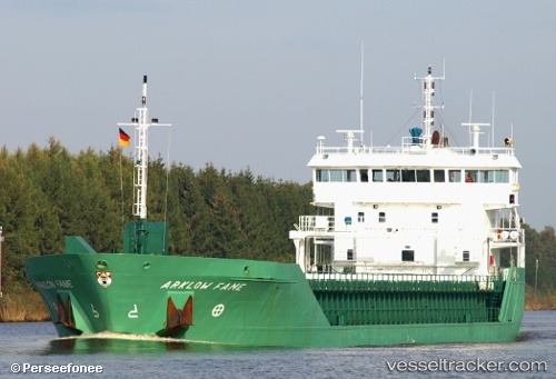
 NATALIE
Current Status
Where is the vessel?
NATALIE is currently in Near IJmuiden/Velsen, based on AIS data received less than 1h ago.
Latest AIS update:
Current position: 52.47232° N, 4.60633° E (Near IJmuiden/Velsen)
Average speed (last 7 days): Loading…
Average speed (last 30 days): Loading…
Vessel profile: NATALIE is a General Cargo with dimensions m x m.
This page combines live AIS, route history, probable destination signals, nearby traffic, and port activity for practical vessel monitoring.
The current position of vessel NATALIE is 52.47232 lat / 4.60633 lng. Updated: 2026-04-22 16:21:25 UTCNearest reference points:
- Near IJmuiden/Velsen
- Near Ijmuiden
- Near BEVERWIJK
Currently sailing under the flag of Antigua and Barbuda ![]()
Details:
Live Vessel NATALIE Analytics (details, animations, etc.)
Recent AIS points (UTC):
2026-04-22 13:37:02 UTC · 52.47315, 4.60596 · SOG 0 kn · COG 282°2026-04-22 14:03:44 UTC · 52.47245, 4.60645 · SOG 0 kn · COG -1°
2026-04-22 16:18:26 UTC · 52.47334, 4.60596 · SOG 0 kn · COG 282°
2026-04-22 16:21:25 UTC · 52.47232, 4.60633 · SOG 0 kn · COG 275°