 vesseltracker.com
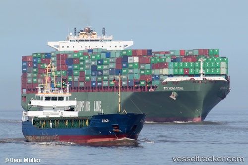
Vessel Eider IMO: 9197399, MMSI: 304469000 Multi Purpose Carrier
UTC, 35.96921, -6.00103, course: 266, speed: 4.2
UTC, 35.96682, -6.09236, course: 270, speed: 5.4
2026-01-30 19:40:28 UTC, 36.02167, -6.30667, course: -1, speed: 4
Live AIS position:
UTC. Near Gibraltar),
updated 2026-01-30 19:40:28 UTC.
Find the position of the vessel Eider on the map. The latter are known coordinates and path.
marine traffic ship tracker show on live map
The current position of vessel Eider is 36.02167 lat / -6.30667 lng. Updated: 2026-01-30 19:40:28 UTCCurrently sailing under the flag of Antigua Barbuda
Eider built in 2003 year
Deadweight:
3672 tDetails:
Last coordinates of the vessel:
UTC, 35.96881, -5.77179, course: 274, speed: 4UTC, 35.96921, -6.00103, course: 266, speed: 4.2
UTC, 35.96682, -6.09236, course: 270, speed: 5.4
2026-01-30 19:40:28 UTC, 36.02167, -6.30667, course: -1, speed: 4