 vesseltracker.com
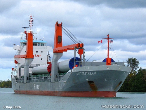
Vessel Lemland IMO: 9415040, MMSI: 304581000 Multi Purpose Carrier
UTC, 29.91667, -90.08500, course: -1, speed: 0
UTC, 29.91700, -90.08528, course: 66, speed: 0
2026-02-22 03:54:01 UTC, 29.91705, -90.08530, course: 66, speed: 0
Live AIS position:
UTC. Near Marrero),
updated 2026-02-22 03:54:01 UTC.
Find the position of the vessel Lemland on the map. The latter are known coordinates and path.
marine traffic ship tracker show on live map
The current position of vessel Lemland is 29.91705 lat / -90.08530 lng. Updated: 2026-02-22 03:54:01 UTCCurrently sailing under the flag of Antigua Barbuda
Lemland built in 2009 year
Deadweight:
8850 tDetails:
Last coordinates of the vessel:
UTC, 29.91705, -90.08528, course: 66, speed: 0UTC, 29.91667, -90.08500, course: -1, speed: 0
UTC, 29.91700, -90.08528, course: 66, speed: 0
2026-02-22 03:54:01 UTC, 29.91705, -90.08530, course: 66, speed: 0