 vesseltracker.com
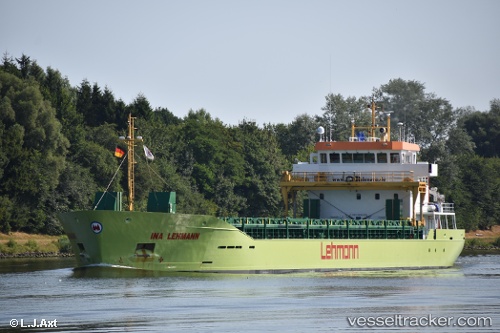
 Ina Lehmann
Current Status
Where is the vessel?
Ina Lehmann is currently in Near Köping, based on AIS data received about 1h ago.
Latest AIS update:
Current position: 59.50275° N, 16.01532° E (Near Köping)
Average speed (last 7 days): Loading…
Average speed (last 30 days): Loading…
Vessel profile: Ina Lehmann is a Deck Cargo Ship with dimensions 90m x 15m.
This page combines live AIS, route history, probable destination signals, nearby traffic, and port activity for practical vessel monitoring.
The current position of vessel Ina Lehmann is 59.50275 lat / 16.01532 lng. Updated: 2026-03-28 21:34:36 UTCNearest reference points:
- Near VASTERAS
- Near Västerås
- Near Krokek
Currently sailing under the flag of Antigua Barbuda ![]()
Details:
Live Vessel Ina Lehmann Analytics (details, animations, etc.)
Recent AIS points (UTC):
2026-03-28 15:31:35 UTC · 59.50274, 16.01527 · SOG 0 kn · COG 113°2026-03-28 17:43:38 UTC · 59.50280, 16.01524 · SOG 0 kn · COG 112°
2026-03-28 18:58:41 UTC · 59.50272, 16.01531 · SOG 0.1 kn · COG 112°
2026-03-28 21:34:36 UTC · 59.50275, 16.01532 · SOG 0 kn · COG 113°