 vesseltracker.com
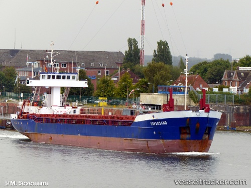
 Hav Tuna
Current Status
Where is the vessel?
Hav Tuna is currently in Near Warnemunde, based on AIS data received about 1h ago.
Latest AIS update:
Current position: 54.15296° N, 12.12181° E (Near Warnemunde)
Average speed (last 7 days): Loading…
Average speed (last 30 days): Loading…
Vessel profile: Hav Tuna is a Multi Purpose Carrier with dimensions 88m x 12m.
This page combines live AIS, route history, probable destination signals, nearby traffic, and port activity for practical vessel monitoring.
The current position of vessel Hav Tuna is 54.15296 lat / 12.12181 lng. Updated: 2026-04-04 22:16:46 UTCNearest reference points:
- Near Warnemunde
- Near Rostock
- 10 nm NW of Graal-Müritz
Currently sailing under the flag of Antigua Barbuda ![]()
Hav Tuna built in 1993 year
Deadweight:
3036 tDetails:
Live Vessel Hav Tuna Analytics (details, animations, etc.)
Recent AIS points (UTC):
2026-04-04 15:55:30 UTC · 54.22889, 12.01248 · SOG 0.2 kn · COG 295°2026-04-04 17:35:56 UTC · 54.15295, 12.12181 · SOG 0 kn · COG 341°
2026-04-04 19:58:45 UTC · 54.15296, 12.12178 · SOG 0 kn · COG 341°
2026-04-04 22:16:46 UTC · 54.15296, 12.12181 · SOG 0 kn · COG 341°