 vesseltracker.com
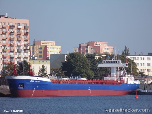
Vessel Hav Marlin IMO: 9006954, MMSI: 304734000 Multi Purpose Carrier
UTC, 40.64798, 14.74763, course: 301, speed: 0.6
UTC, 40.64833, 14.74667, course: -1, speed: 0
2026-01-29 18:25:36 UTC, 40.64951, 14.74728, course: 212, speed: 0.5
Live AIS position:
UTC. Near Vietri sul Mare),
updated 2026-01-29 18:25:36 UTC.
Find the position of the vessel Hav Marlin on the map. The latter are known coordinates and path.
marine traffic ship tracker show on live map
The current position of vessel Hav Marlin is 40.64951 lat / 14.74728 lng. Updated: 2026-01-29 18:25:36 UTCCurrently sailing under the flag of Antigua Barbuda
Hav Marlin built in 1993 year
Deadweight:
3036 tDetails:
Last coordinates of the vessel:
UTC, 40.64770, 14.74573, course: 24, speed: 0.2UTC, 40.64798, 14.74763, course: 301, speed: 0.6
UTC, 40.64833, 14.74667, course: -1, speed: 0
2026-01-29 18:25:36 UTC, 40.64951, 14.74728, course: 212, speed: 0.5