 vesseltracker.com
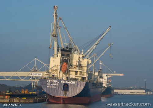
Lake St. Clair
Current StatusWhere is the vessel?
Lake St. Clair is currently in 50 nm W of Cape Ray, based on AIS data received about 2h ago.
Latest AIS update:
Current position: 47.80853° N, 60.49812° W (50 nm W of Cape Ray)
Average speed (last 7 days): Loading…
Average speed (last 30 days): Loading…
Vessel profile: Lake St. Clair is a Bulk Carrier with dimensions 24m x 185m.
This page combines live AIS, route history, probable destination signals, nearby traffic, and port activity for practical vessel monitoring.
The current position of vessel Lake St. Clair is 47.80853 lat / -60.49812 lng. Updated: 2026-04-10 05:32:57 UTCDetails:
Live Vessel Lake St. Clair Analytics (details, animations, etc.)
Recent AIS points (UTC):
2026-04-09 23:40:40 UTC · 47.01024, -59.65387 · SOG 11.1 kn · COG -1°2026-04-10 01:21:21 UTC · 47.24167, -59.96500 · SOG 10 kn · COG -1°
2026-04-10 03:53:27 UTC · 47.58620, -60.28424 · SOG 9.5 kn · COG 327°
2026-04-10 05:32:57 UTC · 47.80853, -60.49812 · SOG 9.5 kn · COG 326°