 vesseltracker.com
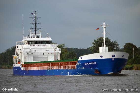
 KIRSI
KIRSI
Current Status
Where is the vessel?
KIRSI is currently in Near Piirivalvesadam, based on AIS data received about 13h ago.
Latest AIS update:
Current position: 59.45854° N, 24.66044° E (Near Piirivalvesadam)
Average speed (last 7 days): Loading…
Average speed (last 30 days): Loading…
Vessel profile: KIRSI is a General Cargo with dimensions 104m x 16m.
This page combines live AIS, route history, probable destination signals, nearby traffic, and port activity for practical vessel monitoring.
The current position of vessel KIRSI is 59.45854 lat / 24.66044 lng. Updated: 2026-04-10 07:42:14 UTCNearest reference points:
- Near Vanasadam
- Near Aegna
- Near Nurme
Currently sailing under the flag of Antigua Barbuda ![]()
KIRSI built in 0 year
Deadweight:
0 tDetails:
Live Vessel KIRSI Analytics (details, animations, etc.)
Recent AIS points (UTC):
2026-04-10 02:12:12 UTC · 59.46101, 24.65436 · SOG 0 kn · COG 304°2026-04-10 04:03:13 UTC · 59.45858, 24.66045 · SOG 0 kn · COG -1°
2026-04-10 05:33:14 UTC · 59.45858, 24.66043 · SOG 0 kn · COG -1°
2026-04-10 07:42:14 UTC · 59.45854, 24.66044 · SOG 0 kn · COG -1°