 vesseltracker.com
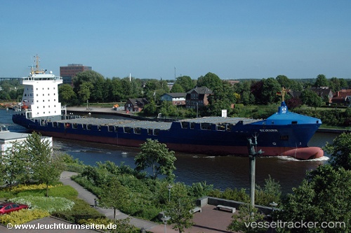
Jsp Skirner
Current StatusWhere is the vessel?
Jsp Skirner is currently in 44 nm N of Pinelands, based on AIS data received about 3h ago.
Latest AIS update:
Current position: 34.62046° N, 18.26771° E (44 nm N of Pinelands)
Average speed (last 7 days): Loading…
Average speed (last 30 days): Loading…
Vessel profile: Jsp Skirner is a Container Ship with dimensions 22m x 139m.
This page combines live AIS, route history, probable destination signals, nearby traffic, and port activity for practical vessel monitoring.
The current position of vessel Jsp Skirner is 34.62046 lat / 18.26771 lng. Updated: 2026-04-06 12:15:42 UTCNearest reference points:
- 73 nm N of Pinelands
- 71 nm N of Pinelands
- 60 nm S of Pinelands
Details:
Live Vessel Jsp Skirner Analytics (details, animations, etc.)
Recent AIS points (UTC):
2026-04-05 22:16:05 UTC · 35.69862, 21.98874 · SOG 14.2 kn · COG 250°2026-04-06 09:53:42 UTC · 34.79418, 18.86945 · SOG 12.8 kn · COG 250°
2026-04-06 12:08:23 UTC · 34.62874, 18.30054 · SOG 13.7 kn · COG 250°
2026-04-06 12:15:42 UTC · 34.62046, 18.26771 · SOG 13.9 kn · COG 249°