 vesseltracker.com
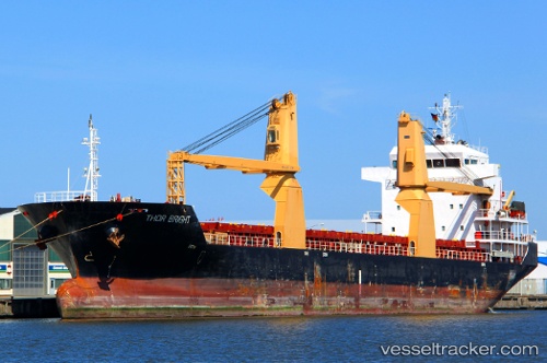
Vessel Tinos IMO: 9428786, MMSI: 305087000 Multi Purpose Carrier
UTC, 49.42833, 0.24172, course: 91, speed: 0
UTC, 49.42833, 0.24167, course: -1, speed: 0
2026-02-24 20:24:25 UTC, 49.42837, 0.24171, course: 91, speed: 0
Live AIS position:
UTC. Near HONFLEUR AVANT-PORT),
updated 2026-02-24 20:24:25 UTC.
Find the position of the vessel Tinos on the map. The latter are known coordinates and path.
marine traffic ship tracker show on live map
The current position of vessel Tinos is 49.42837 lat / 0.24171 lng. Updated: 2026-02-24 20:24:25 UTCCurrently sailing under the flag of Antigua Barbuda
Tinos built in 2007 year
Deadweight:
8280 tDetails:
Last coordinates of the vessel:
UTC, 49.42833, 0.24167, course: -1, speed: 0UTC, 49.42833, 0.24172, course: 91, speed: 0
UTC, 49.42833, 0.24167, course: -1, speed: 0
2026-02-24 20:24:25 UTC, 49.42837, 0.24171, course: 91, speed: 0