 vesseltracker.com
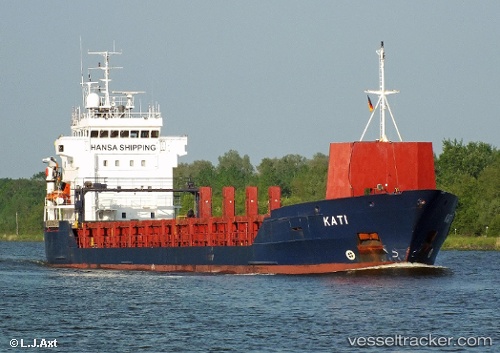
Vessel KATI IMO: 9173214, MMSI: 305167000 General Cargo Ship
UTC, 54.46091, 10.25511, course: 33, speed: 9.8
UTC, 54.57442, 10.97614, course: 83, speed: 11.9
2026-03-14 06:15:19 UTC, 54.45049, 11.61923, course: 117, speed: 12.3
Live Vessel KATI Analytics (details, animations, etc.)
Live AIS position: UTC. 13 nm SW of GEDSER), updated 2026-03-14 06:15:19 UTC.Find the position of the vessel KATI on the map. The latter are known coordinates and path.
marine traffic ship tracker show on live map
The current position of vessel KATI is 54.45049 lat / 11.61923 lng. Updated: 2026-03-14 06:15:19 UTCCurrently sailing under the flag of Antigua and Barbuda
KATI built in 1998 year
Deadweight:
5145 tDetails:
Last coordinates of the vessel:
UTC, 54.36084, 10.03318, course: 96, speed: 7.1UTC, 54.46091, 10.25511, course: 33, speed: 9.8
UTC, 54.57442, 10.97614, course: 83, speed: 11.9
2026-03-14 06:15:19 UTC, 54.45049, 11.61923, course: 117, speed: 12.3