 vesseltracker.com
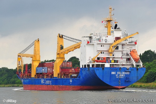
Vessel Frieda IMO: 9435117, MMSI: 305245000 Heavy Load Carrier
UTC, -20.31500, -40.14333, course: -1, speed: 0
UTC, -20.31667, -40.14333, course: -1, speed: 0
2026-02-06 17:34:37 UTC, -20.31500, -40.14333, course: -1, speed: 0
Live AIS position:
UTC. Near Tubarão Pt./Vitória),
updated 2026-02-06 17:34:37 UTC.
Find the position of the vessel Frieda on the map. The latter are known coordinates and path.
marine traffic ship tracker show on live map
The current position of vessel Frieda is -20.31500 lat / -40.14333 lng. Updated: 2026-02-06 17:34:37 UTCDetails:
Last coordinates of the vessel:
UTC, -20.31667, -40.14333, course: -1, speed: 0UTC, -20.31500, -40.14333, course: -1, speed: 0
UTC, -20.31667, -40.14333, course: -1, speed: 0
2026-02-06 17:34:37 UTC, -20.31500, -40.14333, course: -1, speed: 0